-40%
Map, Pictorial Guide for Wessex / Southwest England
$ 6.33
- Description
- Size Guide
Description
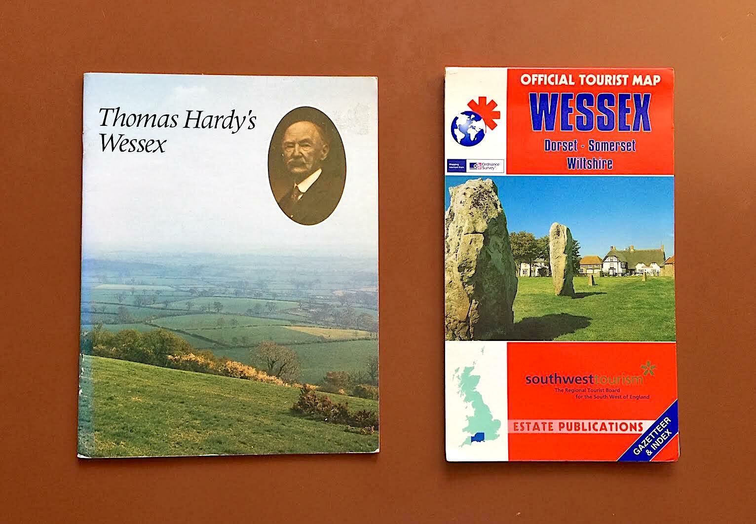
Includes a detailed official tourist map of Wessex, the area in southwestern England, primarily in Dorset, Somerset and Wiltshire, that constituted the medieval Anglo-Saxon kingdom of the same name. The terrain & transport map covers the area from Bristol to Swindon in the north, down to the south coast, along the English Channel from Exeter to the Isle of Wight (from Ordnance Survey/Estate Publications, circa 1995); and a colorful pictorial guide to Thomas Hardy’s Wessex, the semi-fictional southwestern English setting for the Victorian writer’s novels, includingTess of the D’Urbervilles
and
Far from the Madding Crowd
. (From Pitkin Pictorial, 1978).
